Baja South Map - Nat Geo
$14.95
Product Info
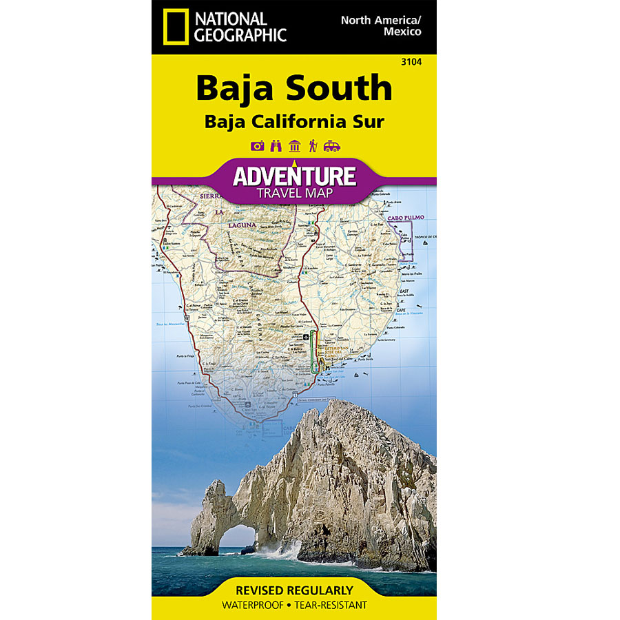
The perfect overview of Baja South all in one paper map.... Tear-resistant & waterproof!The Baja South map covers from Guerro Negro to the tip at Cabo San Lucas. There are awesome topo details like mountain regions, washes and other water spots, dry lake beds, and elevation. Nat. Geo offers a scale of 1:450,000 with a latitude/longitude grid.
These maps have been used, abused, and reused! They are worthy of Negra Modelo spills, crumpling and jumbling while on the fly, and being used as a tool rag in the depths of baja while still coming out clean! Tear-resistant and water-proof.... now that's Baja tough!
Reviews
There are yet no reviews for this product.
Units in box: 1